0
Like
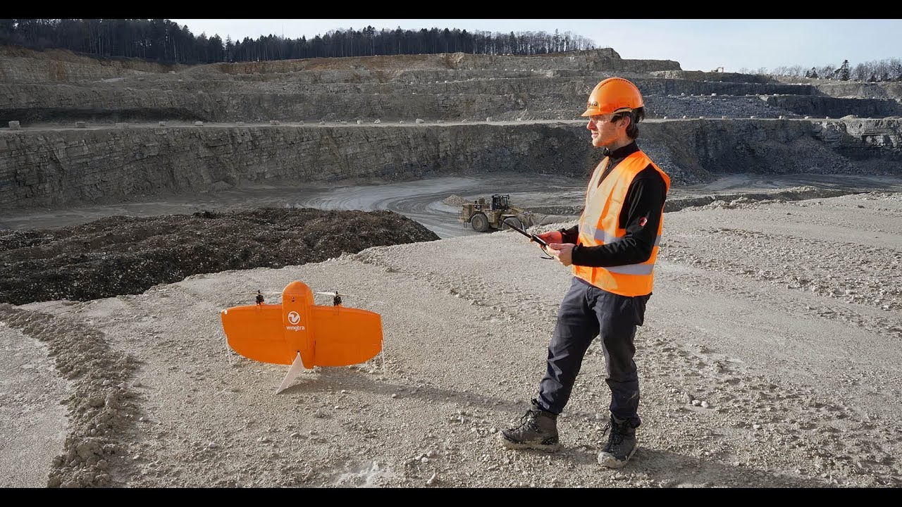
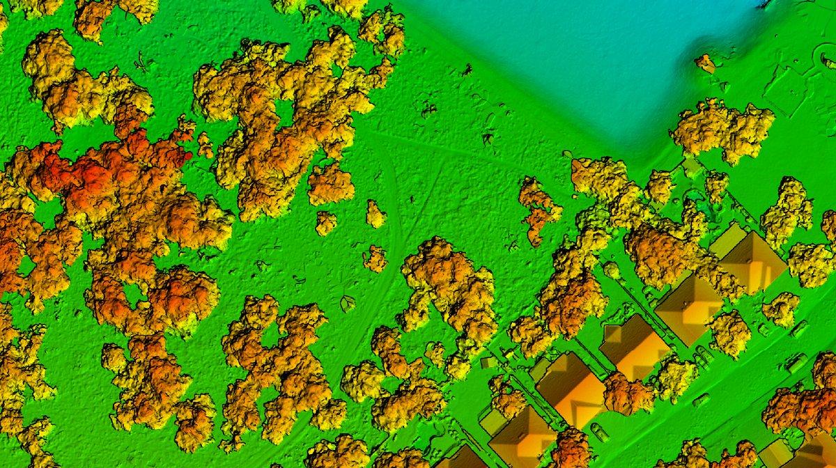
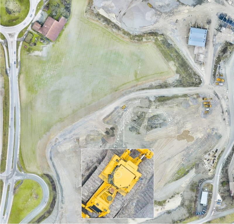
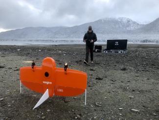
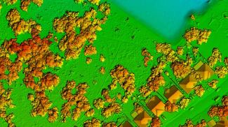
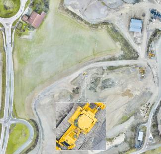
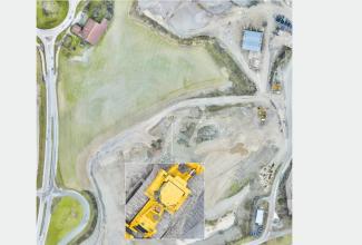
The WingtraOne vertical take-off and landing (VTOL) mapping drone is capable of performing fast aerial surveys across wide or hard to reach areas and producing reliable maps with unparalleled accuracy and resolution. WingtraOne comes equipped with a choice of Sony high-resolution mapping cameras or a professional multispectral camera by Micasense. Using the intuitive flight planning software and the fully autonomous flying operations, surveyors can capture geo-tagged aerial images with virtually no piloting skills. Drone image outputs can be processed by all major photogrammetry software to create highly-accurate orthomosaics and 3D models.
| Specification Title | Specification Description |
|---|---|
|
Accuracy
|
Down to 1 cm (0.4 in) absolute accuracy | Auto-Landing accuracy under 5m(< 16 ft)
|
|
Areas of Application
|
Surveying and GIS | Mining and Aggregates | Research and Environment | Agriculture | Construction
|
|
Capacity
|
Max Payload 0.8kg | Max flight time of up to 55 minutes with or without payload
|
|
Output
|
Orthomosaic maps | 3D reconstruction | Multispectral imagery | Single Images
|
|
Power
|
Power Source: Li-ion, Smart battery technology, UN compliant
|
|
Range
|
Flight Range: Up to 40km (25miles) | Map more than 400ha in a one-hour flight
|
|
Speed
|
16 m/s (35.8 mph)
|
|
Temperature
|
-10 to +40 °C (14 to 104 °F)
|
|
Weight
|
3.7 kg (8.1 lb)
|
 Get access to reviews
Sign up or log in to your explorer or platform subscription to get access to the reviews written about this technology.
The Technology Readiness Level (TRL) indicates the maturity level of novel technologies. Learn more about the TRL scale used by us.
[9/9]


Sign up or log in to your explorer or higher plan to get access to all the 4 deployment references.
Last Deployment Year


